Project
In 2017, an investigative journalist, Yvette Cabrera, walked the streets of Santa Ana (CA) with a portable XRF machine and found alarming concentrations of lead in parks, open lots, and backyards. Although city officials did not respond to this crisis, community activists gathered around Orange County Environmental Justice (OCEJ) took action. With the help of scholars from the University of California-Irvine and youth activists with Jovenes Cultivando Cambios, OCEJ designed a comprehensive study of the city’s soil. A few months later, trained community members collected 1,500 samples across different zones and city landscapes. After the lab analyses were complete, the study showed that almost half of the soil samples contained unsafe concentrations of lead.
One prominent question arose naturally among residents in Santa Ana: Where is this lead coming from?
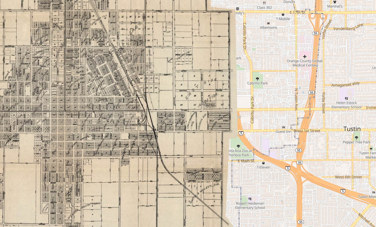
In 2020, I began coordinating an effort among experts in public health, activists with OCEJ, and historians to address this question. The co-authored research published on the peer-reviewed journal Environmental Research uses geo-spatial data collected through archival research to estimate the impact of two potential sources of lead contamination in the past — lead-paint and leaded gasoline. Our close study of the city of Santa Ana (CA) shows that, while contemporary traffic volumes do not correlate with soil-lead concentrations, historical traffic patterns have an important predictive value in mapping high concentrations of environmental lead today. These findings suggest that the current approach used by public health agencies to prevent lead poisoning, primarily focused on lead-paint and consumer products, is overlooking leaded gasoline as a major source of environmental lead. Moreover, our study indicates that legacy soil-lead may be present in many other urban environments that received sustained flows of traffic during the twentieth century.
Publications
Rubio, Juan Manuel, Shahir Masri, Ivy R. Torres, Yi Sun, Keila Villegas, Patricia Flores, Michael D. Logue, Abigail Reyes, Alana M. W. LeBrón, and Jun Wu. “Use of Historical Mapping to Understand Sources of Soil-Lead Contamination: Case Study of Santa Ana, CA.” Environmental Research 212 (September 1, 2022): 113478. https://doi.org/10.1016/j.envres.2022.113478.
Masri, Shahir, Alana M. W. LeBrón, Michael D. Logue, Patricia Flores, Abel Ruiz, Abigail Reyes, Juan Manuel Rubio, and Jun Wu. “Use of Radioisotope Ratios of Lead for the Identification of Historical Sources of Soil Lead Contamination in Santa Ana, California.” Toxics 10, no. 6 (June 2022): 304. https://doi.org/10.3390/toxics10060304.
Funding
This project received support from the Ridge to Reef Graduate Training Program funded by NSF-NRT award DGE-1735040 between August 1st, 2020 and June 30th, 2021.
EPA Competition
A short documentary about our study by Tim Schutz and colleagues won the first prize ($20000) in the Environmental Justice Video Challenge by the Environmental Protection Agency.
In 2023, the research collective also won an EPA grant to begin a bio-remediation program in Santa Ana. It’s implementation is currently underway.
Learn more about this study …

- Cole, Megan. “Mapping Pollution.” School of Humanities. Accessed June 8, 2022.
- Orlowski, Aaron. “UCI Podcast: Uncovering the Cause of the Soil Lead Crisis in Santa Ana.” UCI News, July 29, 2021. .
- Rubio, Juan Manuel. “Unearthing Lead: Solving the Mistery of Pollution Maps.” Spark: Elevating Scholarship on Social Issues (National Center for Institutional Diversity), June 7, 2022.
- Rubio, Juan Manuel. “Air, Metal, and Earth,” (audio documentary)